It's not necessary when you've decided on a certain route in advance, but when you're just wandering around and touring, you can't wait to get home. ”I'd like to go that way again, but where is it?" It's not always easy. A GPS logger is an application that keeps a record of your GPS (location information).
If you search for GPS loggers, you'll get lots of candidates, but this is the one I use.
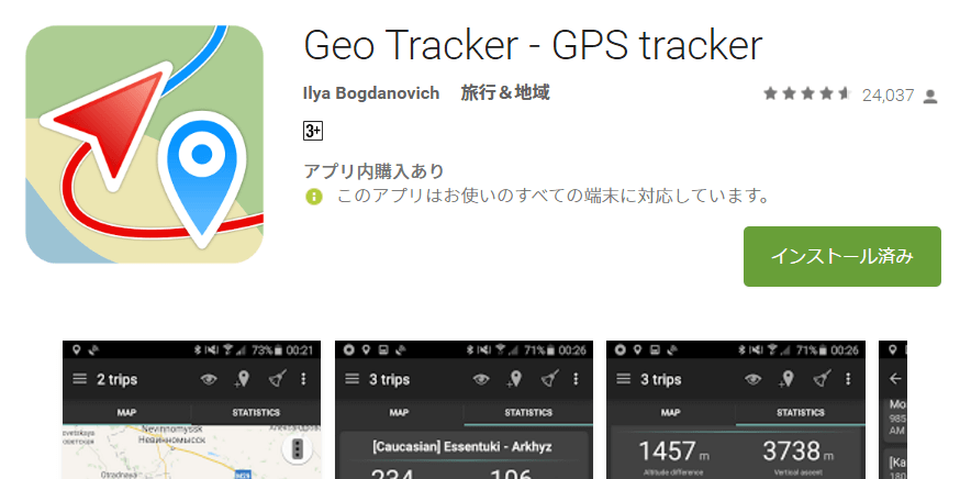
This is a software for Android.Download from hereyou can.
When you start it, press the start button and leave it alone. When you look at the screen later, you'll see the route you took is recorded like this.
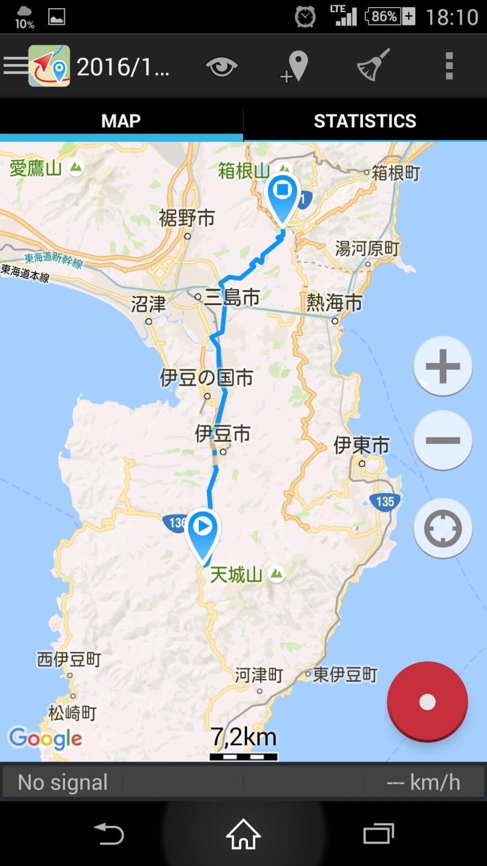
Not only the route, but also various records during the trip.
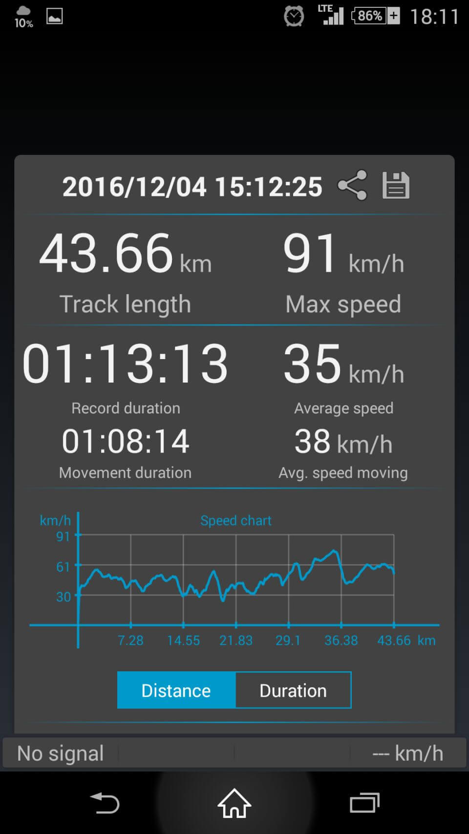
Recorded distance and time (both during startup and moving only), maximum speed, average speed (both during startup and moving only), etc. The graphs can also be displayed by distance/time.
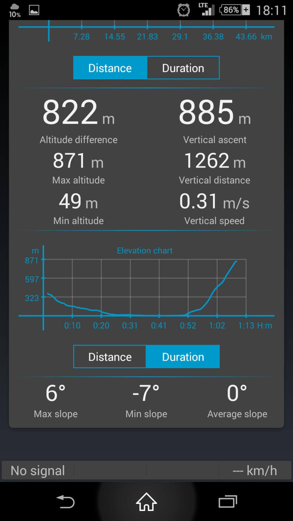
It also leaves behind some interesting information to look at, such as the elevation difference traveled, the highest and lowest elevations, the vertical travel distance, and the maximum slope of the ascent and descent. The graph in this figure shows the feeling of coming down from the mountains of Izu and running up Hakone.
You can also save your past routes.
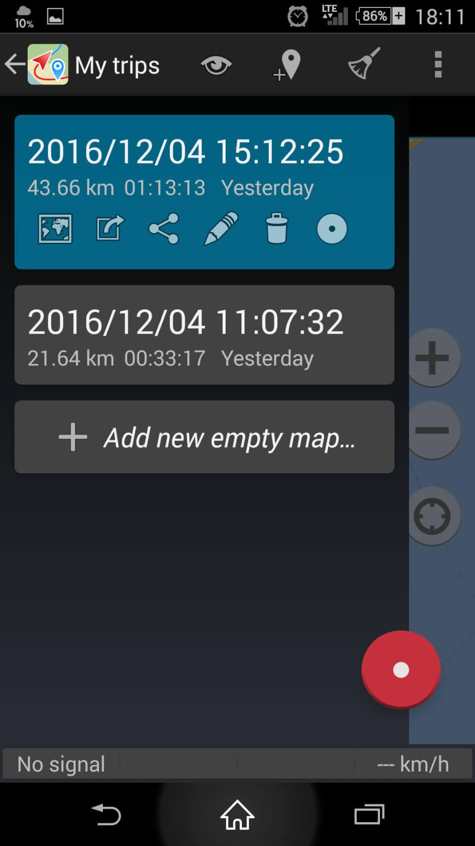
You can also output and save the data in three different file formats. Since the route can be recreated in both Google Maps and Google Earth, you can easily reconfirm the scenery in Street View or embed it in your blog.
However, as usual with software that uses GPS, it is quite battery-intensive. If you run this and your smartphone navigation system at the same time, be careful not to run them without power supply or the battery will run out in no time......
People who read this article also read


