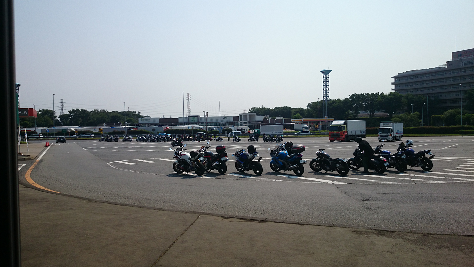
For some reason, I didn't know where I was going until I arrived at Miyoshi PA on the Kan-etsu Line.
Well, here's what I can think of.
- As usual, the standard Kusatsu area.
- From Chichibu to Nagano and Yamanashi
- We'll go from Numata to Nikko and back along the Tohoku Highway.
It's a pattern. I was looking at a map on my phone."Oh, yeah, let's go see the waterfall."I came up with the idea.
I've been to Fukiwari Falls before, so for other waterfalls in Gunma, please visit ........ I googled it, and it looks like Tsunenobe Falls is a good one.
Joubu Waterfall
With a drop of 40 meters, the waterfall is large in scale and has been selected as one of the 100 best waterfalls in Japan. The iron-rich bedrock gives the waterfall its unique brown color, and the atmosphere is full of wildness. On the hiking course to reach the waterfall, it is said that one often encounters antelopes. There are also reports of bears in the area, so be careful when you go. In the season of fresh greenery and autumn leaves, you can enjoy a wonderful view.
■ Basic Information
- Name: Jofu Waterfall
- Address: Kusatsu, Kusatsu-machi, Agatsuma-gun, Gunma
- Access: 60-minute walk from the Kusatsu Branch Parking Lot of the Nature Park Foundation, just past the Kusatsu International Ski Resort and the Tenguyama Rest House.
- Time required: 2 time
- Recommended time to visit: May - November
http://find-travel.jp/article/Quote from 6558
I searched Yahoo! Smartphone Navigation and it looks like it's a few kilometers from Kusatsu, so let's head here.
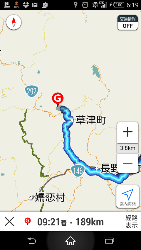
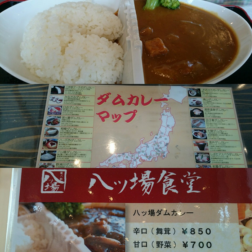
So we got off the Kan-etsu Expressway at the Shibukawa-Ikaho Interchange and headed for Kusatsu, but before we arrived there, we had to eat.Roadside Stations in Yambastopping by
We ate curry and took a rest in the footbath.
After a break, we just kept blasting away.
We were only a few hundred meters away from Jofu Falls.
After deviating from the national highway, we fearfully passed through unpaved roads full of falling rocks and holes, but we finally arrived at the destination.
I have a feeling that I won't be able to turn back if I ride my motorcycle any further, so I'll stop here and walk the rest of the way, but it doesn't look like there's a big waterfall nearby......
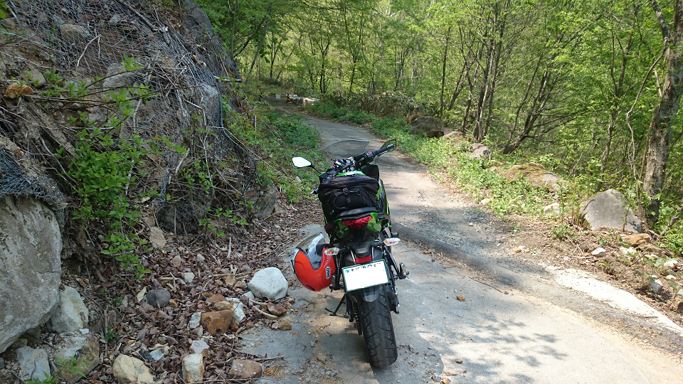
We walked along the mountain path. There was no sign of anyone around. Oh, by the way, there was a bear warning sign in front of us.
We continued on for another five minutes, but there was no sign of a waterfall at all.
I stopped for a moment to check the exact location on Google Maps: .........
It looks like we'll have to do some serious mountain trekking from here."Straight line distance"
I had imagined waterfalls like Shiraito no Taki, Kegon no Taki, and Fukiwari no Taki to be tourist attractions, but Jofu no Taki was not."wild thing"It seems to be a
Irrational .......orz
So we turned around and continued on the Route 292 / Shiga-Kusatsu-Kogen route. I arrived at this place.
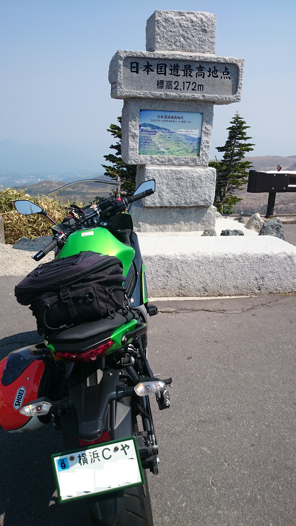
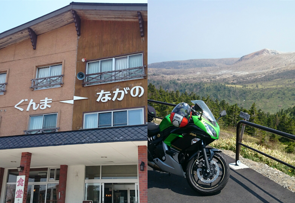
Touring in AprilThis is the highest point of the national highway that we could not reach because we turned toward Manza in the middle of the road. Shibutoge. 2,172 meters above sea level.
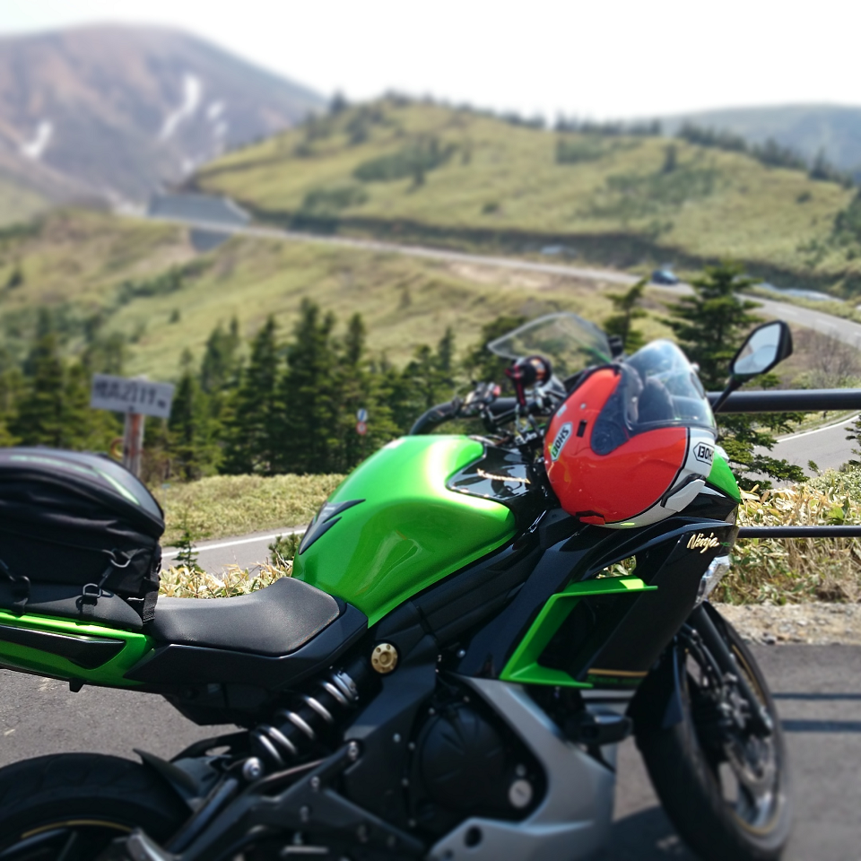
No, but the Shiga-Kusatsu Kogen route is a good road. The Nishi-Izu Skyline and the Venus Line are also good roads, but the condition for a spectacular road is to be able to run along the ridges of the mountains.

Now that I've enjoyed the scenery, I've completely forgotten that I couldn't see the waterfall. We were going to leave not too late today, but since we were in Kusatsu, we had to take a bath.
I had a hard time deciding between Otakinoyu, which has a free rest room and good spring quality, but I went here as usual.
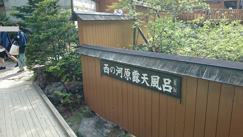
After taking a bath, I'm going to enjoy the ride back down the road.
I came here last year on a CB400SF.While passing by Kurabuchi Onsen, where we had entered at the time, we headed south along the Kusatsu Kaido.
We ate dinner on the way and took the Kanetsu train from Kawagoe and headed home.
Total distance traveled was about 400km? It was not a bad day's touring.
Categories of this article:
Hot spring
motorcycle touring
People who read this article also read


